 APRS APRS
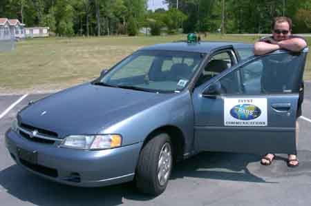
Karl K4LNX followed the lead bikes, with an APRS packet "tracker" in
operation. This was our second experimental use of APRS for a big
event (the first was the Raleigh
Marathon), and a lot went into it. Doug K4ROK and Al AH6LS got
a temporary digipeater set up at 1200' on the Columbia UNC-TV tower.
Karl got trackers working in his car following the lead bike, and in Jeff
AC4ZO's car, that was supposed to follow the trailing bike. Karl
also helped Gary KN4AQ set up an APRS display in his car so Jeb could see
the progress of the bikes.
Turns out that Larry KG4FIQ, who already has a tracker in his car, did
most of the last-bike following.
This is a screen-shot of KN4AQ's computer display, showing Larry
at Sunday's Rest Stop 3, and Karl on the road a little ahead. The
pack of bikes wasn't that tight - Larry was at his initial assignment at
the rest stop, and didn't begin trailing the bikes until the last bike
passed the rest stop.... much later! Bikes riding a long course like
this can stretch out 30 miles or more between the first and last bike.
| The display was using a program called APRS+SA,
which overlays APRS data on Street
Atlas maps. Most other APRS programs don't provide much map detail
in rural areas. APRS+SA lets you utilize the full detail of the Street
Atlas maps.
The experiment worked pretty well. There were some "black holes"
in digipeater coverage on Saturday, while Sunday was solid. We have
some learning to do about reliably wiring up the trackers, understanding
the software and hardware, and understanding what to expect from the system.
And to make APRS a vital part of future operations, we'll need lots
more trackers, more displays, more digipeaters covering the course... and
more hams who know how it all works.
|

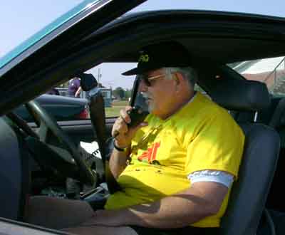
Larry KG4FIQ provided
APRS tracking
behind the last bike
for much of the tour.
|
|
|

